Welcome!
August 24, 2015 - PLEASE NOTE PUBLIC HEALTH ADVISORY NOTICE!
RIDEM AND RI Department of Public Health have issued a health advisory notice and are advising people to avoid
contact with Warwick Pond in Warwick, RI due to a detected blue-green algae ( cyanobacteria) bloom in the pond. You can
get more information on this advisory at
Blue-Green Algae Bloom Found in Warwick Pond
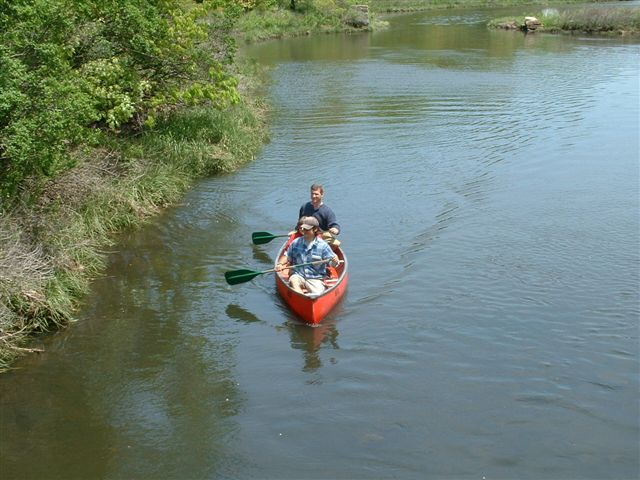
Grab your paddles and get ready for a fantastic summer on the brook! In partnership with the Rhode Island Blueways Alliance and with grant funding from The Rhode Island Foundation the Buckeye Brook Coalition has produced its first official paddle maps. Buckeye Brook Coalition is one of 10 Rhode Island watershed organizations that are creating paddle maps as part of this project. Even if you are familiar with Buckeye Brook, you may be surprised to learn some new things about its historic and natural significance. Check back for other maps being produced in this series and always remember to wear lifejackets, sunscreen and take all other appropriate safety precautions!
Click on a link below to view and print the maps and to plan your paddles in the Buckeye Brook watershed.
|